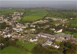
Castlefinn FRS Public Information Day
Castlefinn FRS Public Information Brochure
The Preferred Scheme for Castlefinn was identified as Stage I of the project was nearing completion. The purpose of the Public Information Day in November 2022 was to outline how the information provided to us had been used to define the Preferred Scheme.
Responses to questions raised at the Public Information Day are available in Public Information Day Responses
Castlefinn FRS Constraints Study
Castlefinn FRS Constraints Study Report
Castlefinn FRS Volume II Constraints Mapping
Castlefinn FRS AA Screening Document
The Environmental Constraints Study identifies environmental constraints to be considered in Scheme development (identifying a preferred option), design and construction. Topics within the Constraints Study Report include Population and Human Health; Biodiversity; Land, Soil, Water, Air and Climate; Material Assets, Cultural Heritage and Landscape. It informed option development and the Environmental Impact Assessment for the emerging preferred scheme and includes a summary of the Opening Public Consultation held in November / December 2020.
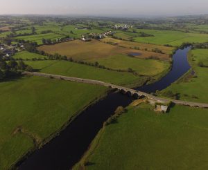
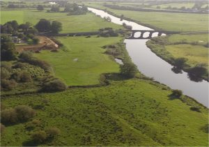
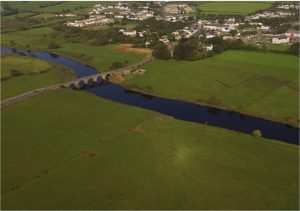
Castlefinn Survey Works
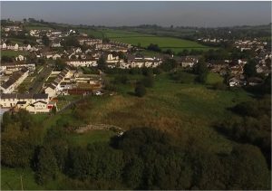
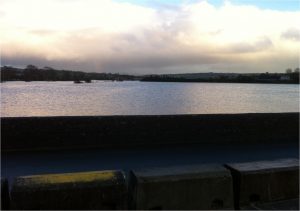
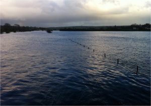
Topographical surveys of watercourses, adjacent lands and property thresholds of residential and commercial premises were collected in early 2021. These works provided the data needed to build an up to date computer model of the Scheme Area. Murphy Geospatial were appointed to carry out survey works in Castlefinn, which included river channel, topographical and property threshold surveys that took place in January and February 2021.
Invasive Species Treatment:
Newsletters:
A new project newsletter will be uploaded every three months, providing information on recent activities undertaken, upcoming activities and other relevant information.
Newsletter 1 provides the first quarterly update, with information on the background of the study, which stage the study is at, an outline of the Scheme programme and describing the next steps for the project.
Newsletter 2 provides the second quarterly update, providing information on what stage the project is at, impact of COVID-19 on the project, an outline of the scheme programme, information regarding the Opening Public Consultation and the next steps for the project.
Newsletter 3 provides the third quarterly update, providing information on what stage the project is at, the current impact of COVID-19 on the project, an outline of the scheme programme and information regarding the property threshold, river and terrain surveys.

Newsletter 4 provides the fourth quarterly update, providing information on what stage the project is at, the impact of COVID-19 on the project, an outline of the scheme programme, survey of culverts along watercourses in the area and a progress update on the river model.
Newsletter 5 provides the fifth quarterly update, providing information on what stage the project is at, the impact of COVID-19 on the project, an outline of the scheme programme, a progress update on the river model and an update on option development.
Newsletter 6 provides the sixth quarterly update, providing information on what stage the project is at, an outline of the scheme programme, a progress update on the river model and an update on option development.
Newsletter 7 provides the seventh quarterly update, providing information on what stage the project is at, an outline of the scheme programme, a progress update on the river model and an update on option development.

Newsletter 8 provides the eighth quarterly update, providing information on what stage the project is at, an outline of the scheme programme and an update on option development.
Newsletter 9 provides the ninth quarterly update, providing information on what stage the project is at, an outline of the scheme programme and an update on the preferred scheme, as well as a summary of the public information day.

Newsletter 10 provides the tenth quarterly update, providing information on what stage the project is at, an outline of the scheme programme and an update on the preferred scheme, as well as an update on ground investigation survey set to commence in February 2023.
Newsletter 11 provides the eleventh quarterly update, providing information on what stage the project is at, an outline of the scheme programme and an update on the preferred scheme, as the projects comes to the end of Stage I.
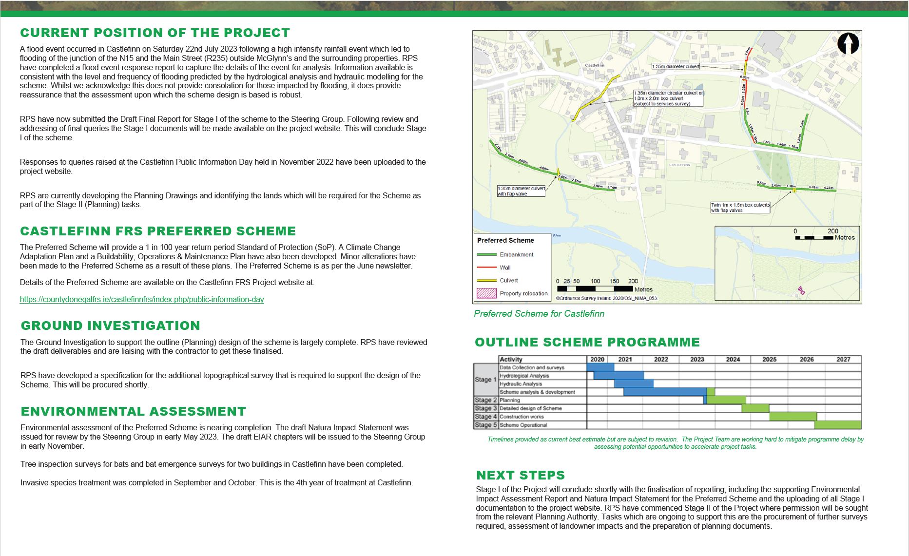
Newsletter 12 provides an update on the project, providing information on the current position of the project, including the flood event that occurred in July 2023. Stage 1 of the project will conclude shortly.
Newsletter 13 provides an update on the project, providing information on the current position of the project. Stage 1 of the project will conclude shortly.
Newsletter 14 provides an update on the project, providing information on the current position of the project. Stage 1 of the project will conclude shortly.
Newsletter 15 provides an update on the project, providing information on the current position of the project. Stage 1 of the project will conclude shortly.
Newsletter 16 provides an update on the project, providing information on the current position of the project. Stage 1 of the project will conclude shortly.
Newsletter 17 provides an update on the project, providing information on the current position of the project. Stage 1 of the project will conclude shortly.
Newsletter 18 provides an update on the project, providing information on the current position of the project. Stage 1 of the project will conclude shortly.
Newsletter 19 provides an update on the project, providing information on the current position of the project. Stage 1 of the project will conclude shortly.